Sub-Surface
Water Solutions.
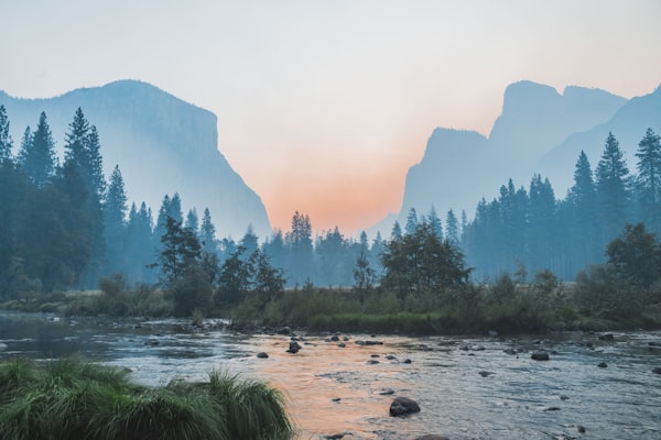
Expert hydrogeological surveys and soil engineering for a sustainable water future in Sri Lanka.


DISCOVER OUR
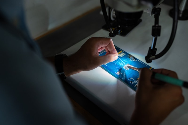
ADVANCED TESTING.
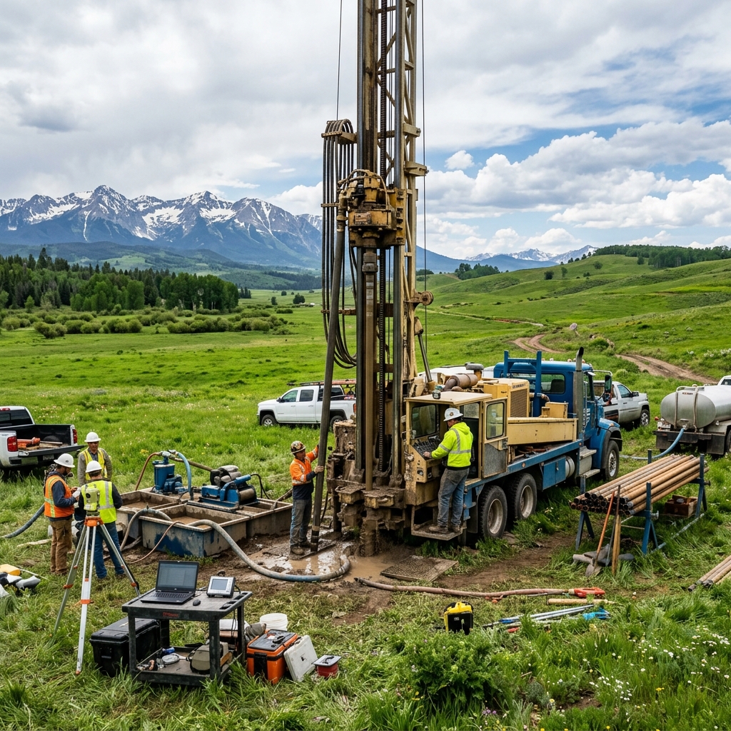
GROUNDWATER SURVEYS
Locating and mapping optimal aquifer coordinates for high-capacity extraction.
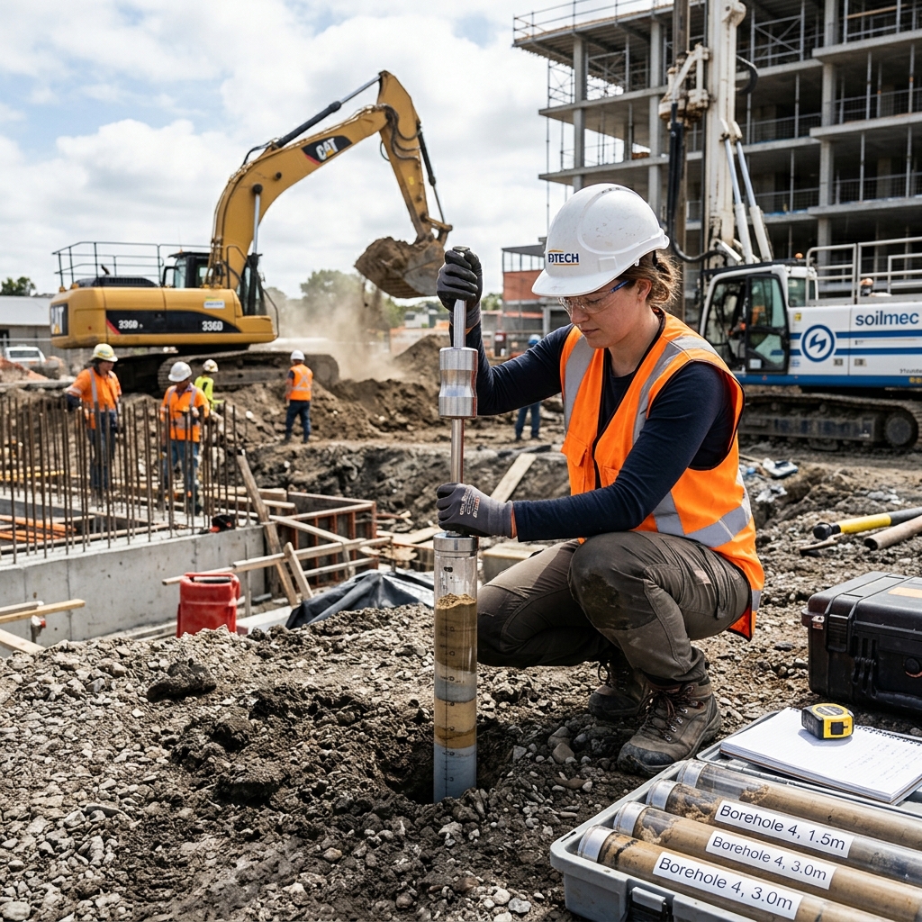
SOIL ENGINEERING
Comprehensive site characterization, geotechnical stability, and soil mechanics testing.
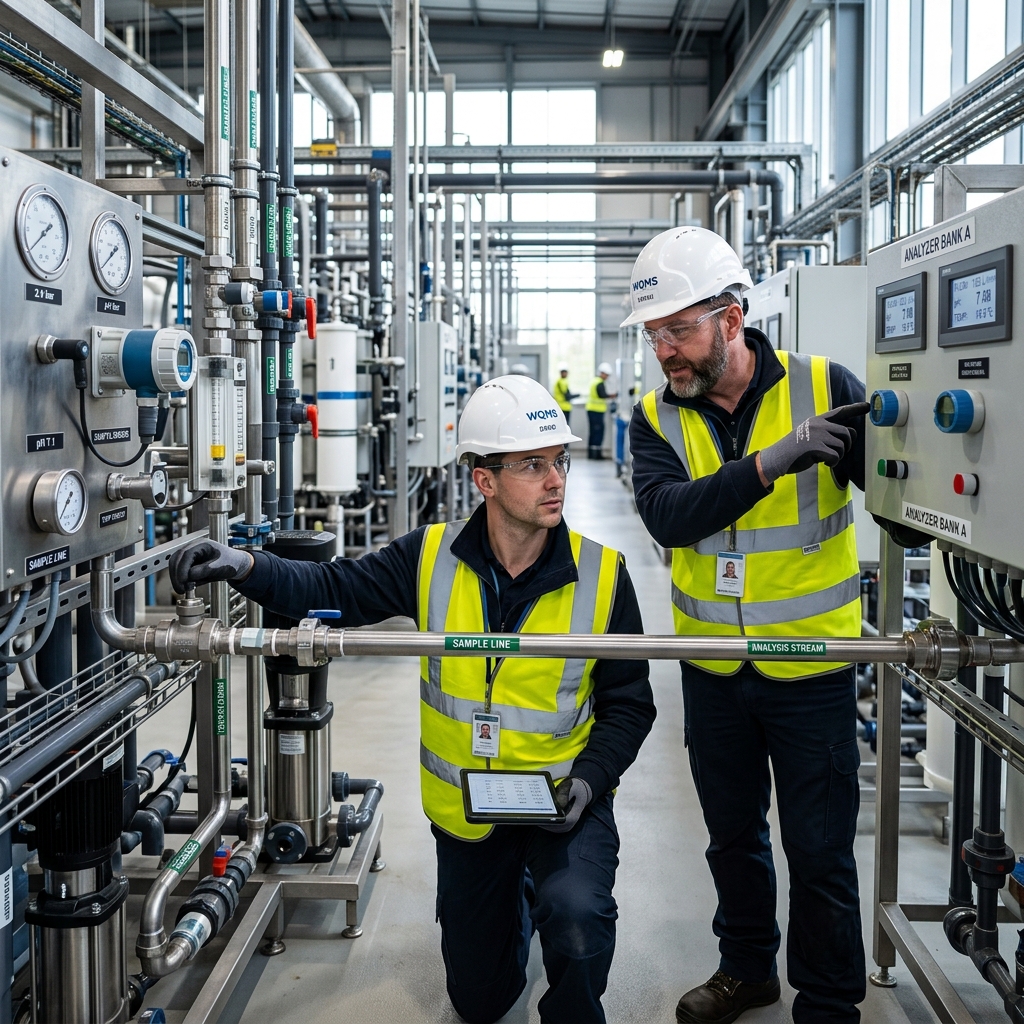
WATER QUALITY
Chemical composition analysis, contaminant checks, and purification auditing.
SPECIALIZED TESTING
TAILORED FOR YOU.
Experience the difference with our professional and personalized survey services across the island.

BOREHOLE LOGGING
High-resolution sub-surface measurements to detail lithology and structural boundaries.
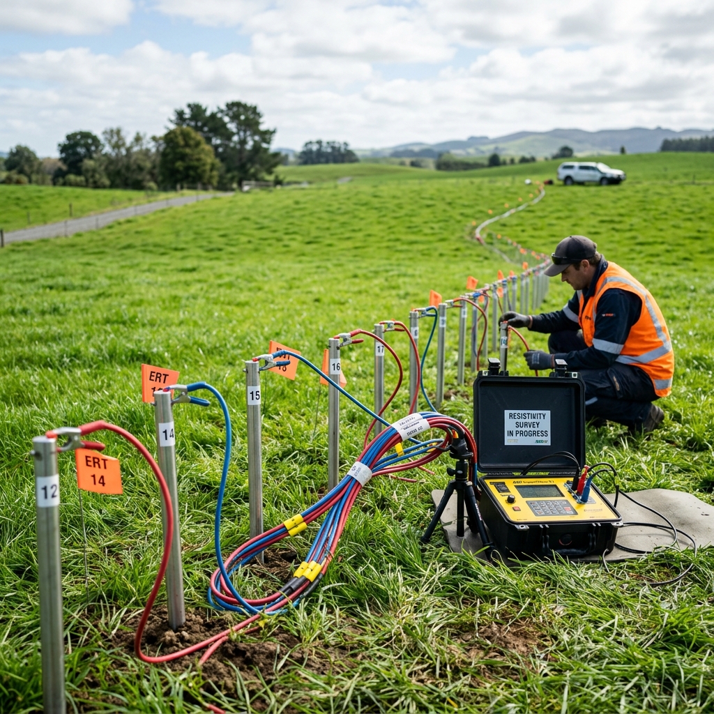
RESISTIVITY IMAGING
Deep subterranean multi-electrode mapping to locate water tables and geological layers.
PUMP TESTING
Determining operational drawdowns, transmissivity, and sustainable flow capacity limits.
ENVIRONMENTAL AUDIT
Evaluating groundwater recharge zones and compliance checks for industrial impacts.
MOST SUCCESSFUL SURVEYS!
We recommend several successful geological surveys in certain districts, please check the yield and technical parameters.
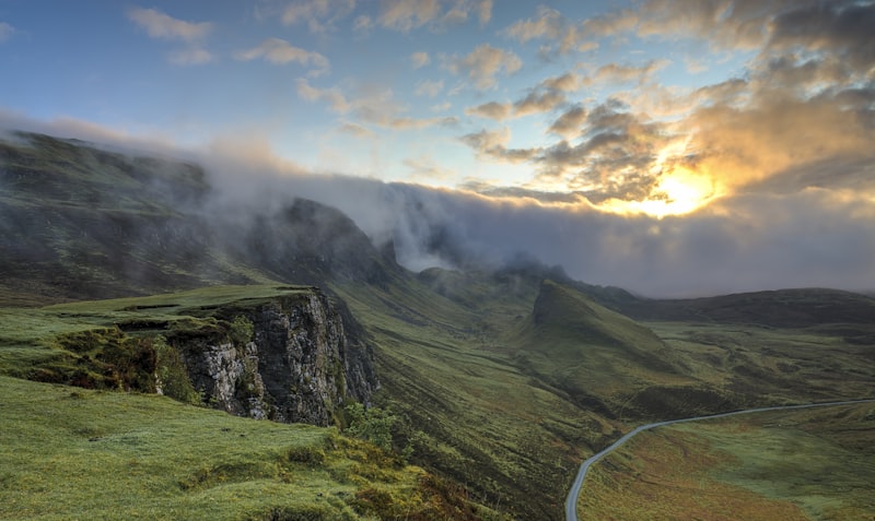
ANURADHAPURA NORTH
KANDY HILL BASE

HAMBANTOTA COAST
JAFFNA LIMESTONE
SURVEY ORDERING
PROCESS.
Technical Process
We employ calibrated resistivity, electromagnetic, and borehole telemetry platforms to capture clear aquifer strata maps before any physical drilling operations commence.
FIND YOUR SITE
Identify the exact coordinates and geological boundary for the geophysical survey.
BOOK A SURVEY
Ensure a smooth technical experience by coordinating schedule and equipment booking online.
EXPERT ANALYSIS
We deploy field sensors and provide detailed sub-surface data mapping and 3D modeling.
PROJECT DELIVERY
Receive finalize reports, geological recommendations, and exact borehole location marking.
EXPLORE YOUR WATER
SOURCES NOW
Start planning your geophysical survey and secure your water sustainability today!