Projects shaped by geology, water intelligence, and field proof.
Explore GeoNeeds work across groundwater investigation, soil engineering, borehole planning, and sustainable water decisions for real sites.
Survey focus
Water + soil
Delivery
Field reports
Coverage
Islandwide
Survey and engineering casework
Each project reflects a practical site decision: where to drill, how to manage groundwater risk, and how to document subsurface conditions before investment.
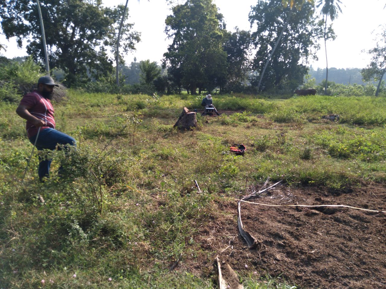
Case 01completedERT project of KEC International Ltd
Conducted 1D Geophysical Resistivity Surveys (January 2021) at proposed electricity substation sites in Peliyagoda, Homagama, Baddegama, and Tissamaharama under the project management of KEC International Ltd. The investigations were undertaken to determine subsurface resistivity characteristics and evaluate ground conductivity conditions for the design and planning of efficient earthing (grounding) systems, ensuring compliance with electrical safety and operational requirements.
 Case 02completed
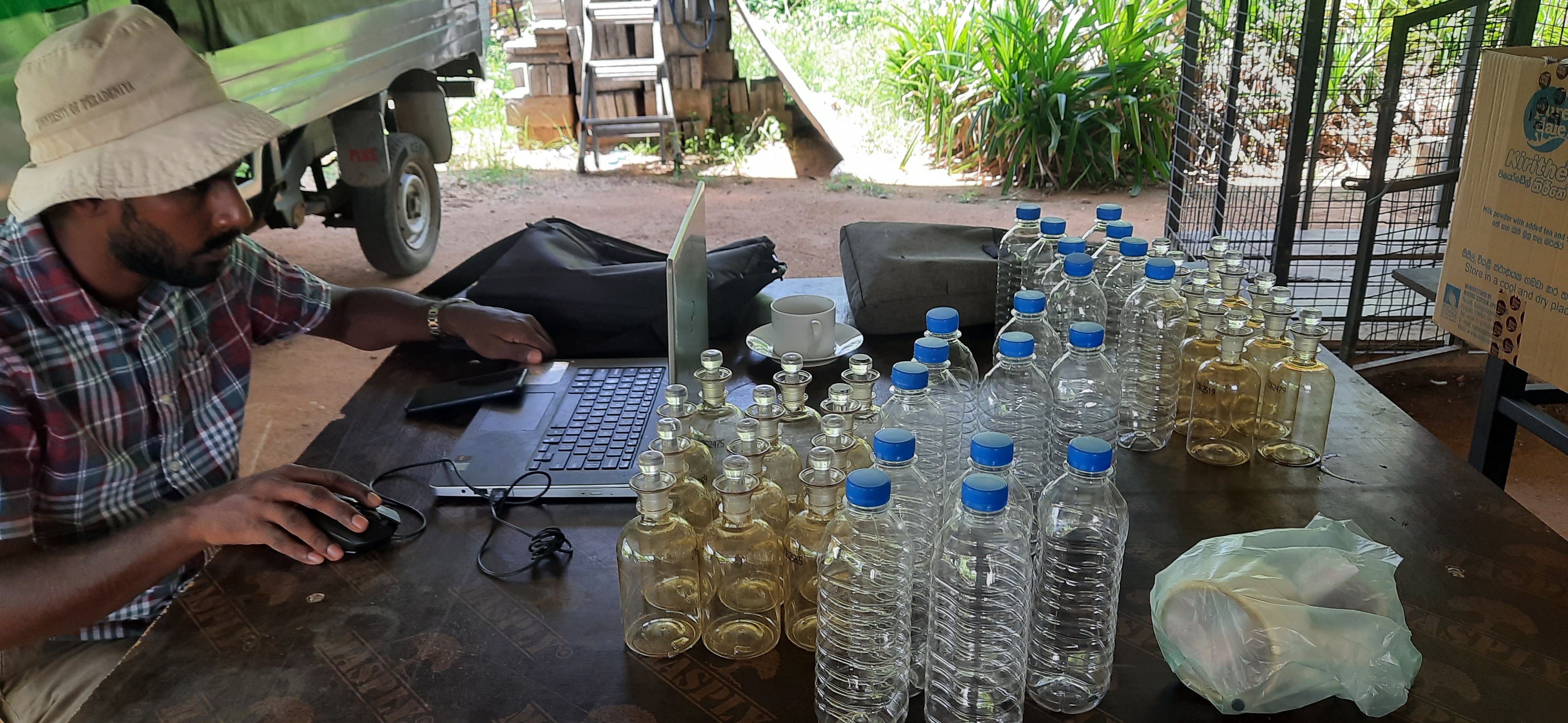
COLIBRI Project, Green Movement of Sri Lanka (GMSL)
Conducted surface water mapping, groundwater and surface water impact assessments, and water resource management studies under the Community Livelihood and Biodiversity Recovery Project (COLIBRI) in the Knuckles Conservation Forest and surrounding areas, from January to June 2021. The work included the preparation of detailed surface water maps using Google Earth and ArcGIS, assessment of water resource interactions, evaluation of potential environmental impacts on groundwater and surface water systems, and the development of recommendations for sustainable water resource management and conservation within the project area.
 Case 03completed
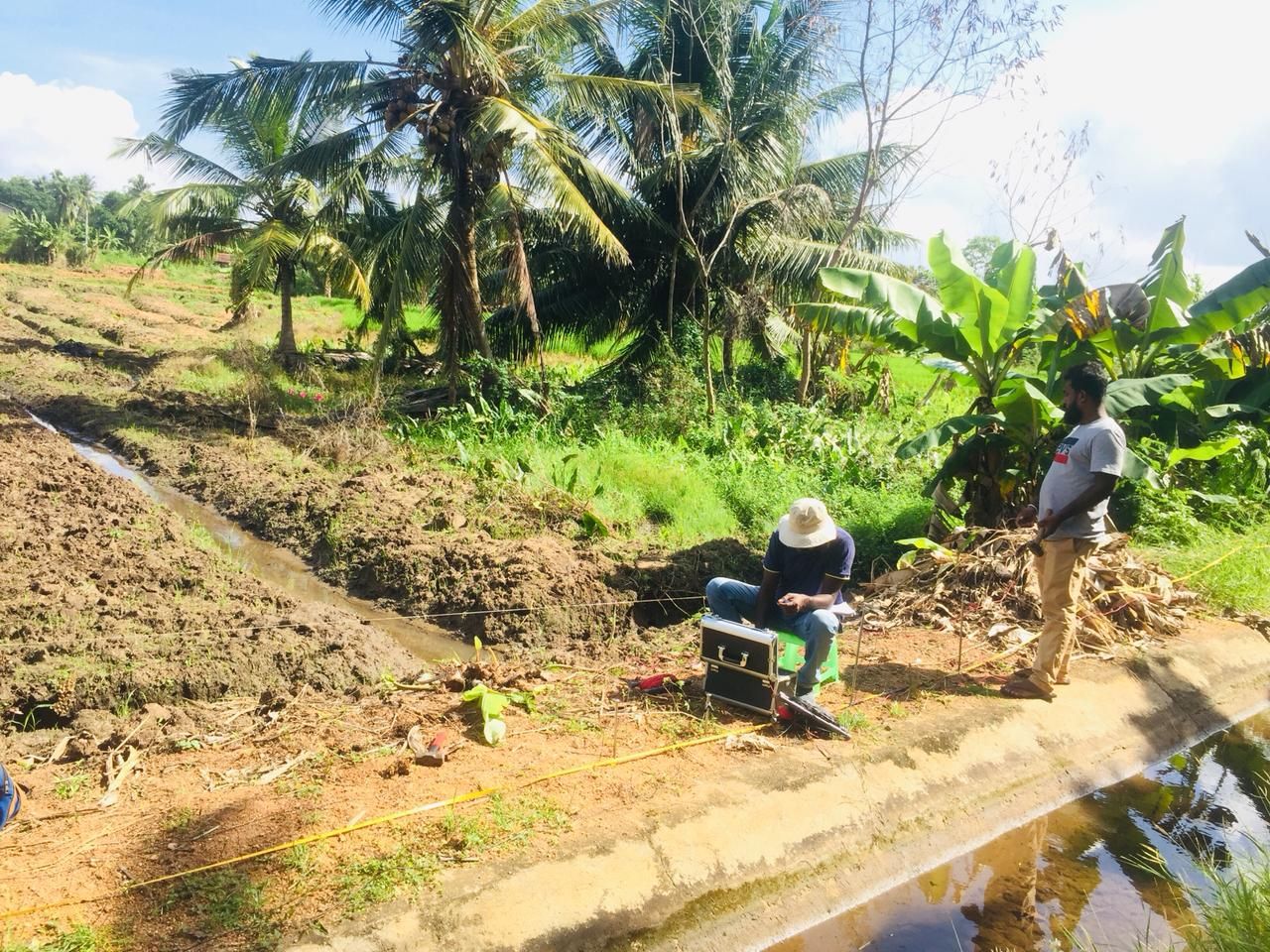
Agro Well Development
Conducted hydrogeological and geophysical investigations for the selection and assessment of 64 agro-well locations under the Agriculture Sector Modernization Project implemented by the Ministry of Agriculture, Rural Economic Affairs, Livelihood Development, Irrigation and Fisheries and Aquatic Resources Development. The study involved groundwater exploration, site evaluation, and identification of suitable locations for agro-well construction across project areas from January to April 2022.
 Case 04completed
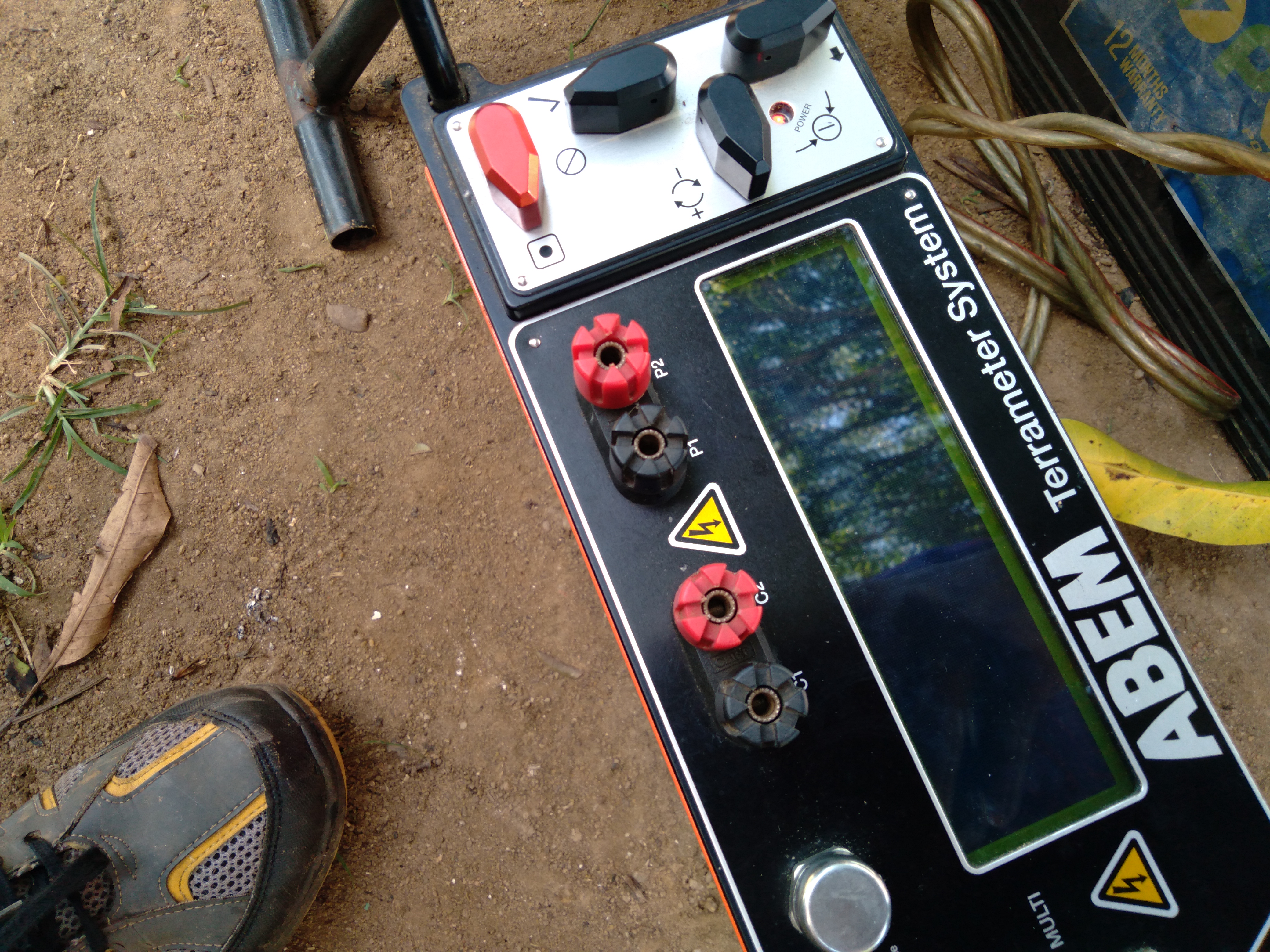
Hydrogeological and Geophysical Investigations
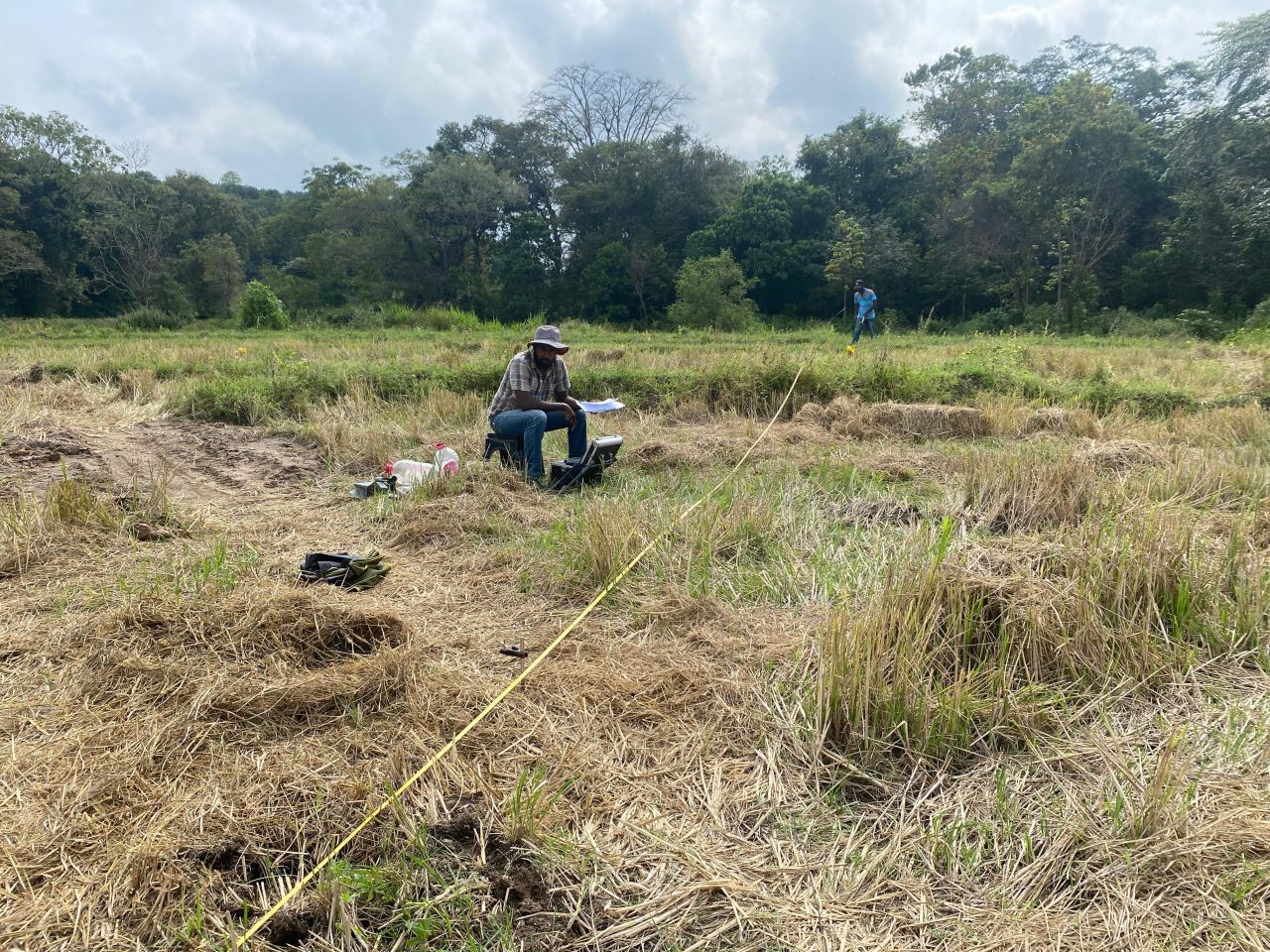
Conducted hydrogeological and geophysical investigations throughout Sri Lanka to identify favorable groundwater-bearing locations for deep tube well development. Successfully completed investigations at over 1,000 sites, achieving an approximate drilling success rate of 90% through the integration of hydrogeological expertise and geophysical survey techniques.
 Case 05completed
Upper Elehera Canal Project, Sri Lanka
Undertook hydrogeological and geophysical investigations to assess subsurface conditions and groundwater potential for the design and construction of 26 dewatering deep tube wells associated with the Upper Elahera Canal Project. The investigation was conducted along the tunnel access route between chainages 33+400 and 33+900, covering the Sigiriya and Diyakepilla areas, during the period of 8–21 April 2025
 Case 06completed
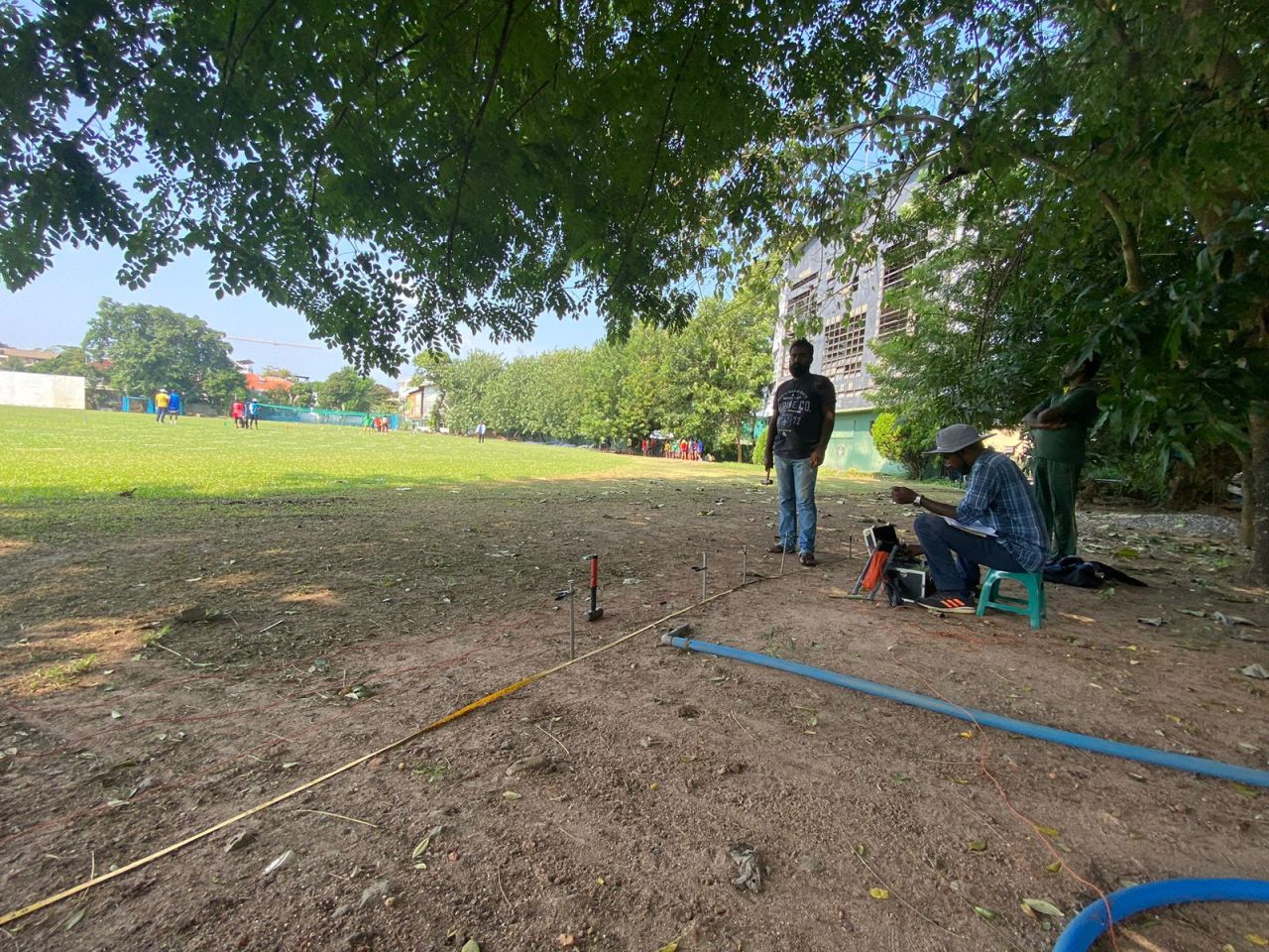
ERT Project at Sri Lanka Cricket Grounds
Conducted 1D Electrical Resistivity Surveys (ERT) at proposed digital screen installation locations within major cricket stadiums, including Pallekele International Cricket Stadium, Dambulla International Cricket Stadium, SSC Grounds, NCC Grounds, CCC Grounds, and P. Sara Oval. The investigations were carried out to determine subsurface resistivity characteristics and assess ground conductivity conditions for the design and optimization of earthing (grounding) systems associated with digital screen installations, ensuring electrical safety, equipment protection, and compliance with engineering standards.
 Case 07completed
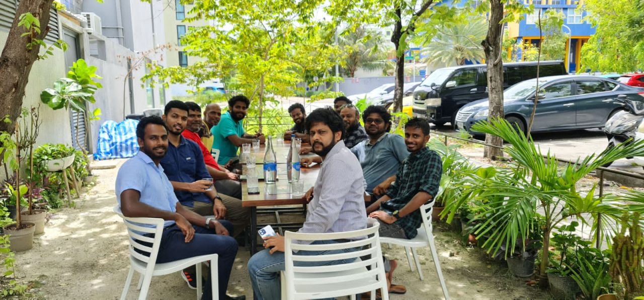
Training Program for Maldives Institute of Technology
Conducted a two-day training program on Groundwater Exploration for students of the Maldives Institute of Technology at Hulhumale Island, Maldives, from 13–14 May 2022. The program included theoretical and practical training on 1D Electrical Resistivity Sounding (VES), field data acquisition, groundwater exploration techniques, and resistivity data interpretation.
From site question to usable field recommendation.
01
Investigate
Capture site conditions through field survey, mapping, and technical observation.
02
Interpret
Convert readings into practical hydrogeological and engineering meaning.
03
Recommend
Deliver clear next steps for drilling, testing, design, or risk control.