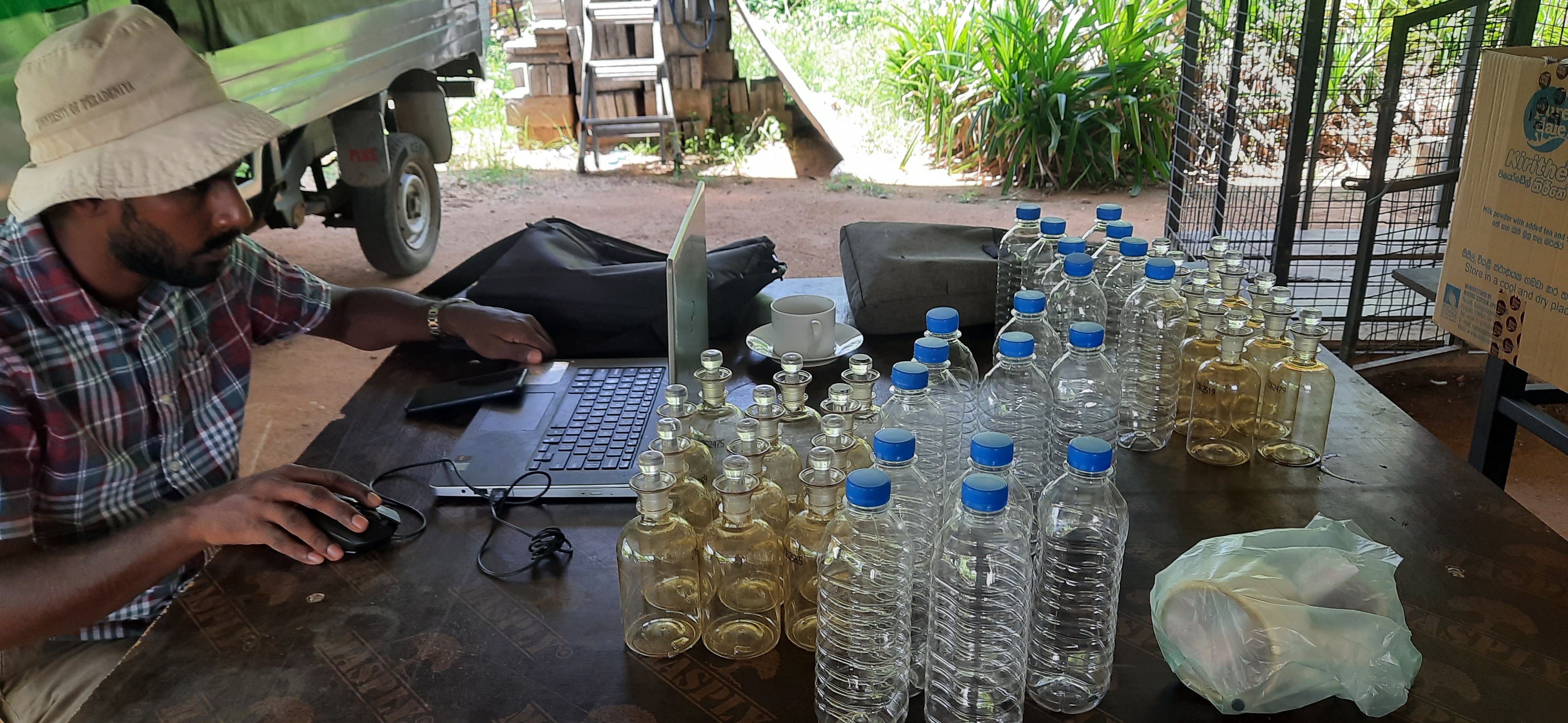
COLIBRI Project, Green Movement of Sri Lanka (GMSL)
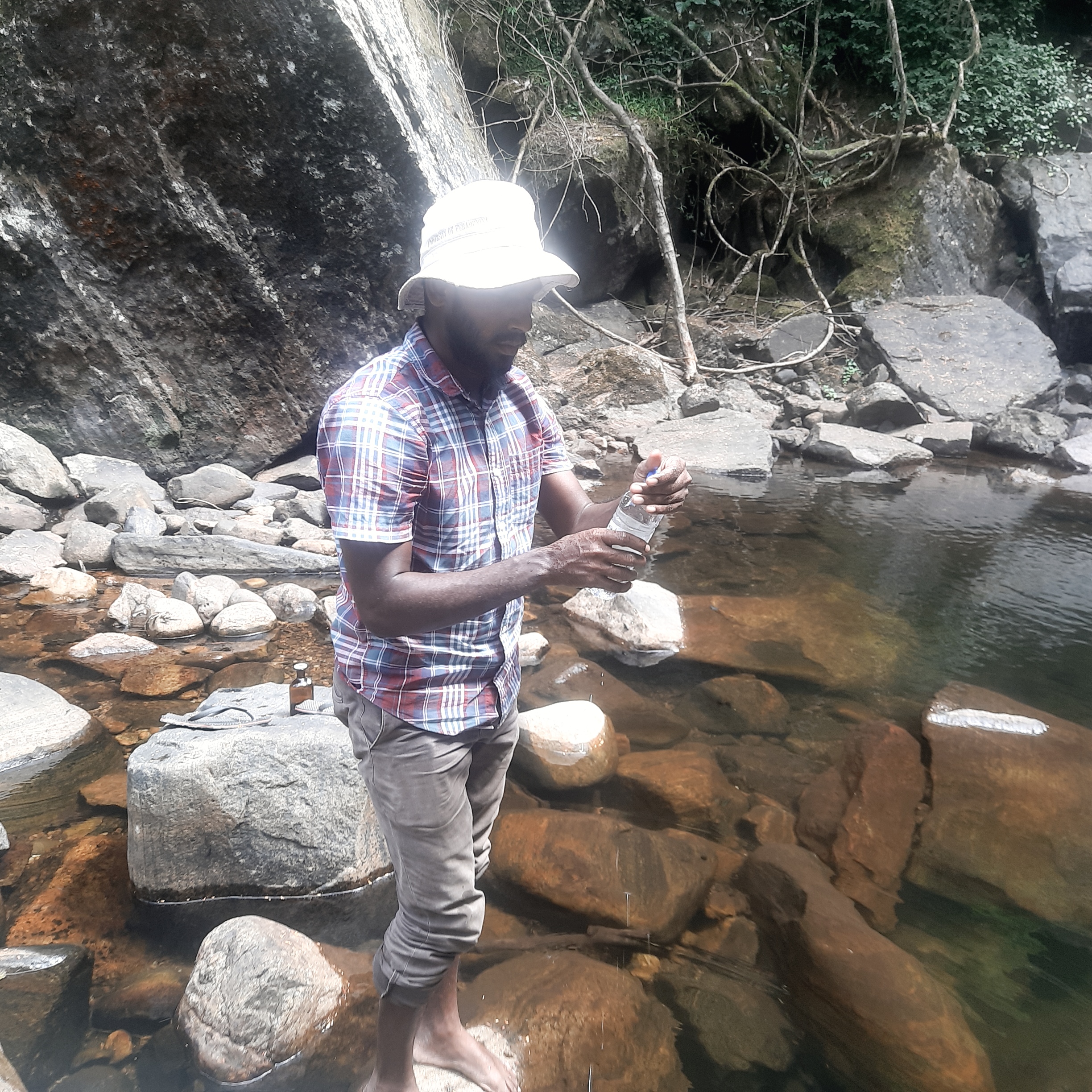
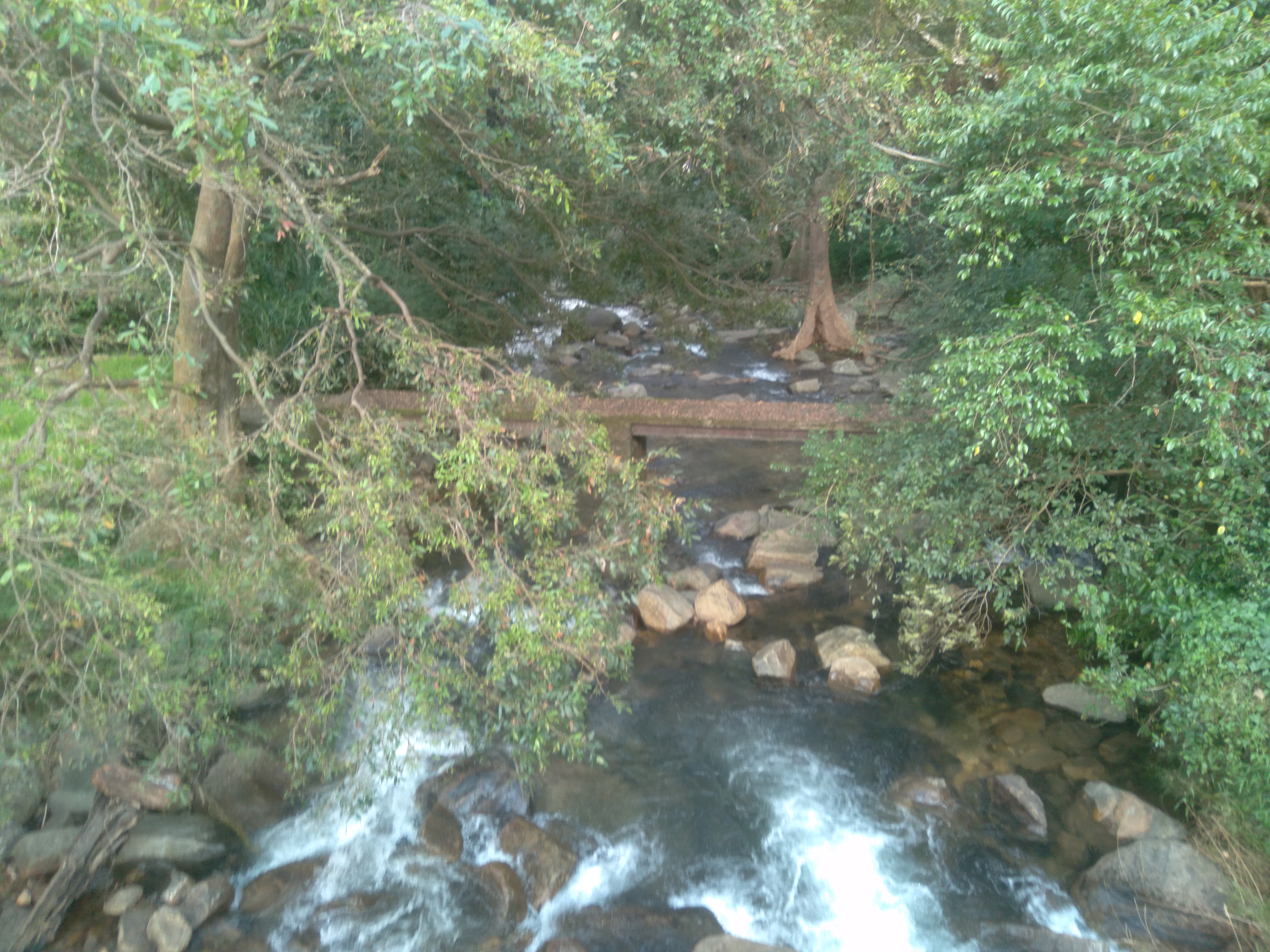
Conducted surface water mapping, groundwater and surface water impact assessments, and water resource management studies under the Community Livelihood and Biodiversity Recovery Project (COLIBRI) in the Knuckles Conservation Forest and surrounding areas, from January to June 2021. The work included the preparation of detailed surface water maps using Google Earth and ArcGIS, assessment of water resource interactions, evaluation of potential environmental impacts on groundwater and surface water systems, and the development of recommendations for sustainable water resource management and conservation within the project area.
How GeoNeeds turns site data into decisions.
01
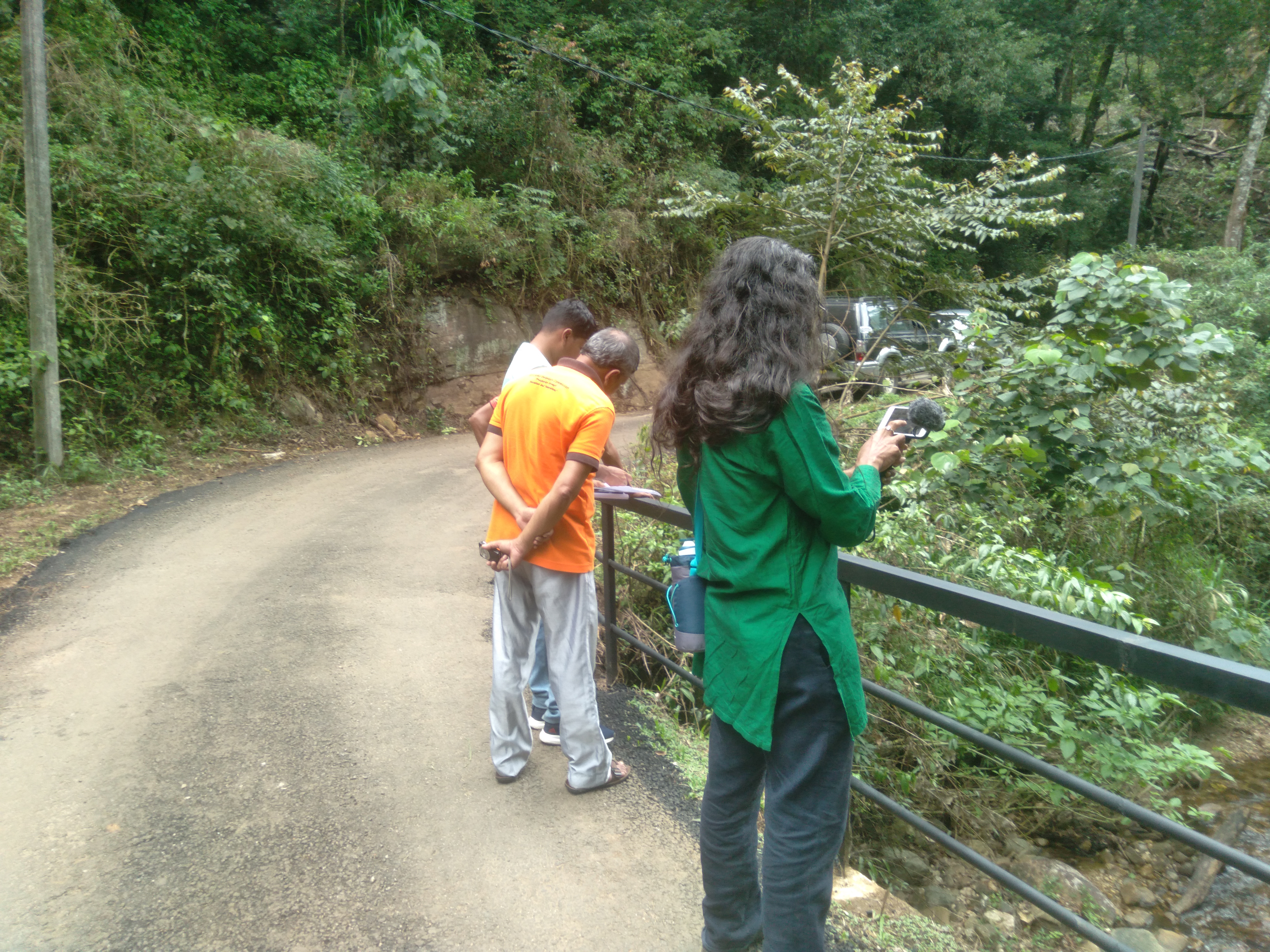
Field assessment
Site conditions, access, surface indicators, and survey priorities are reviewed before interpretation.
02
Subsurface reading
Geophysical and hydrogeological observations are translated into practical site intelligence.
03
Action report
Recommendations are prepared for drilling, water management, or additional technical testing.